Train
Training routes near Las Vegas
Two places to get the miles in before (or after) race day, with the access rules and fees straight from the land managers.

Both routes below are on public land and are run by federal agencies: the Bureau of Land Management at Red Rock Canyon, and the National Park Service at Lake Mead. Fees, reservation rules and road conditions change, so check the linked pages on the day you go. In summer, the NPS advises starting early in the morning or later in the evening and packing enough water for the whole trip.
Red Rock Canyon Scenic Drive

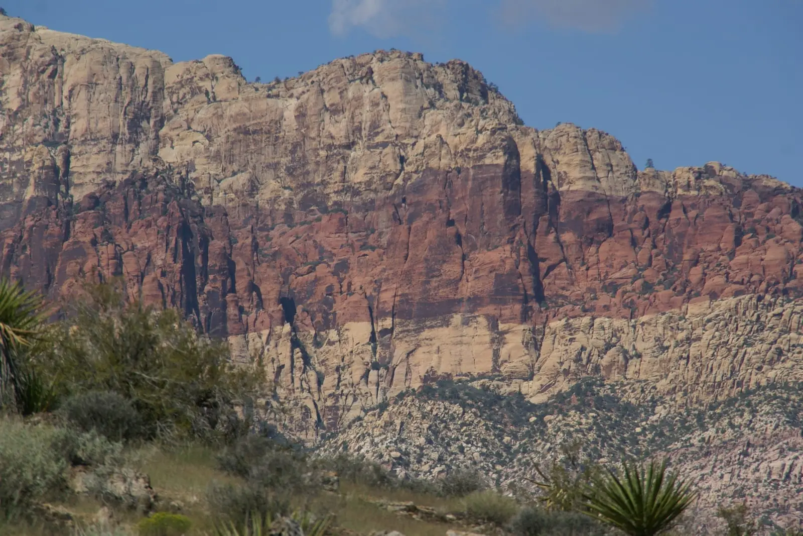
Red Rock Canyon National Conservation Area is about 198,000 acres, 17 miles west of the Las Vegas Strip on Charleston Boulevard (State Route 159), according to the BLM. Its Scenic Drive is a 13-mile, one-way paved road with 12 trailheads and parking areas. That makes it the classic road-bike loop for Las Vegas visitors, and it's also the course for Calico Racing's Red Rock Canyon Marathon, Half and 5K.
- Distance: 13 miles one-way on the Scenic Drive (BLM).
- Reservations: timed reservations are required for vehicle entry to the Scenic Loop from 8 AM to 5 PM, October 1 through May 31.
- Fees (checked Oct 22, 2026): $8 per bicyclist and $5 per pedestrian for one day. The Red Rock Annual Pass is $50. America the Beautiful passes are accepted.
- Race here: the Red Rock Canyon Marathon, Half & 5K is on January 23, 2027.
You share the road with cars on a one-way loop, so ride predictably and visibly. Leave room for vehicles stopping at the overlooks.
River Mountains Loop Trail


The River Mountains Loop Trail is a non-motorized, paved trail that circles the River Mountains. It connects Lake Mead National Recreation Area, Hoover Dam, Henderson, Boulder City and the rest of the Las Vegas Valley. The NPS gives these details:
- Distance: the full loop is 34 miles, of which 16.2 miles run one-way inside Lake Mead National Recreation Area.
- Elevation: 750 feet of elevation change; the NPS rates it "Easy".
- Services: accessible pit toilets, self-service bike repair stations and trash cans along the trail. Drinking water at the trailhead near the Lake Mead Visitor Center.
- Fees: bicycles are subject to Lake Mead's entrance fees. An individual daily pass (valid for 1 to 7 days) is $15, and annual passes are accepted.
- Season: winter, spring and fall. In summer, start early or late in the day.
- E-bikes: allowed wherever traditional bicycles are allowed in the recreation area.
The NPS safety tips: wear a helmet and bright, reflective clothing, slow down at intersections, and stay hydrated. Riding between sunset and sunrise requires a white front light or reflector and a red rear light or reflector.